
We left Yellowknife with relatively clear skies after a day of mostly drizzle. It was a great drive with mostly good roads - especially on the pavement. We stopped at Fort Providence for fuel and as we were fuelling the owner of the cardlock came along to chat once he saw our licence plates. It turns out that he went to the same high school that I went to - just a few years later. Another example of the small world we live in!!
 |
| Lily pads |
 |
| Ready to race |
After 315 kms of pavement, we opted for 450 kms of gravel. This was done rather than the pavement route which would have been an extra 1,000 km. The first part of the road was rather rough but the rest of it was fairly decent. We did see several herds of wood bison along this road - in fact I thought one wanted to race us!! Since the weather forecast predicted rain for three days plus (and yes, the predictions were pretty close), I did some driving and we chose to cover the entire distance. We stayed at a great little municipal campground which was a great price - free. That meant we only have 30 or so km to drive in wet soupy gravel.


We discovered Yukon's territorial campgrounds - $12.00 a night with no services except wood, bathrooms and sometimes water. Some of them are very nice, some could use some improvement in the sites as they could be very muddy. We stayed at a couple of them which were quite nice and enjoyable. As we travelled on the Yukon roads we crossed the BC/Yukon border six times. As we passed through northern BC we decided that maybe we would top up with fuel - that is until we saw the price was 1.95-1.99 per litre but we did put some in at
1.85/litre.
 |
| A waterfall created by the rain |
 |
| I'm glad this is not my camp in the rain |
Since it was raining we decided that we would stop at a little roadside café for lunch. The soup of the day was clam chowder which was perfect. Well we had a bowl of $10.00 clam chowder made with mainly potatoes and corn - not sure if there was any clams or not!!
Along the way, we haven't seen much wildlife which we put down to the wet weather. I know I would rather hunker down instead of going out into the wet elements.


 We stopped at Watson Lake, YT which is the home of the Sign Post Forest where there is a pole with directional signs. As well, folks that have travelled through have put up their own signs resulting in well over 80,000 signs.
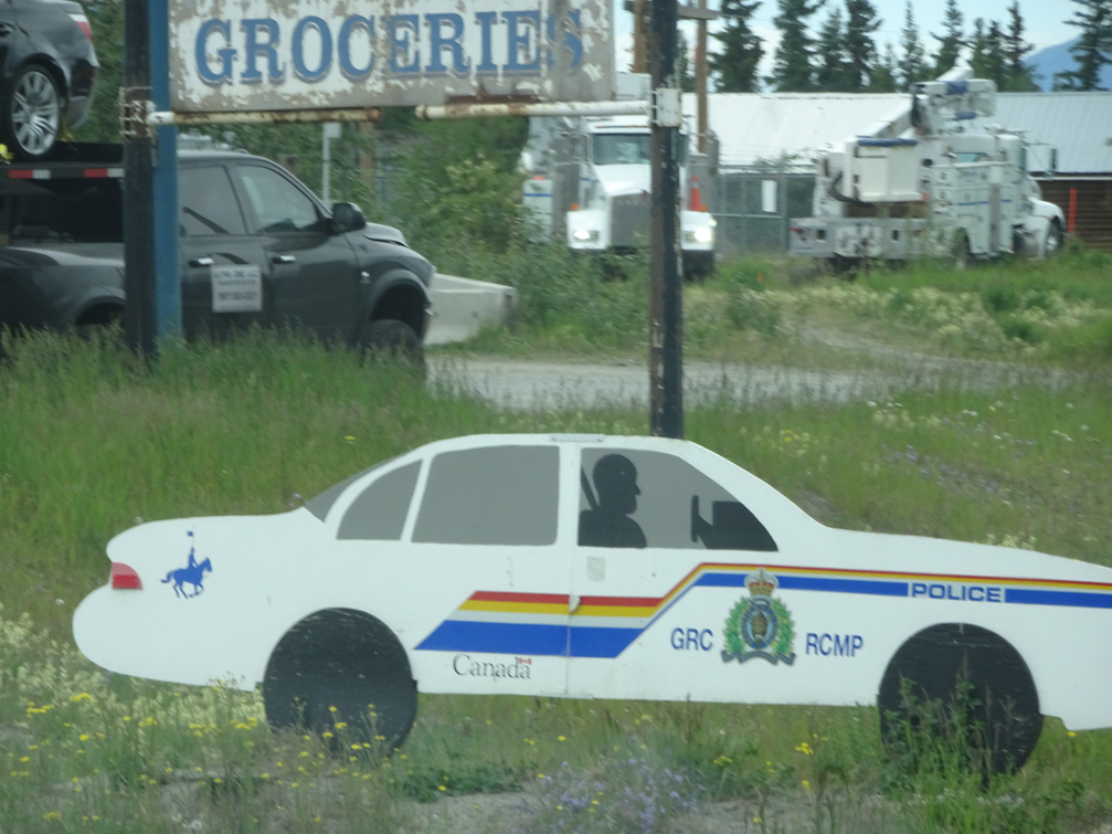
We stopped in Whitehorse to top up any groceries I thought we might need, then at the junction of the Klondike and Campbell highways is a little café that has been advertised as the best burgers so this made a lunch stop. And yes, the burgers were excellent.
As we came towards the burger place, this slowed us down - looks pretty authentic to start.


Finally - some bears!!
 |
| A sample of the better roads |
Then it was time to head up the Dempster Highway towards Tuktoyaktuk, NT. This road is mainly gravel (some of it is dirt) for a distance of 900 kms. We head out and shortly thereafter, it starts to rain, drizzle, mist which creates some very interesting roads. We got as far as Eagle Plains which is halfway where we filled with fuel and got a camping spot. Many folks that came through recommended no travel further north but we decided to sleep on it and see what the next day brings. Well the next day brought more drizzle so we made a choice. We had already driven 5,000 kms to go up to Tuktoyaktuk so it would be a shame to turn around now. Instead we made arrangements to get a room for a couple of nights in Inuvik, NT, we found a spot to park the trailer and off we went with just the truck - good choice it was.
Since I will be without internet for the next few days, I am poslting this early (also I have to make up for posting late last week). Thanks for stopping by and more of our venture north next week!!
No comments:
Post a Comment